Share Lincoln-Lakeway Multimodal Transportation Study on FacebookShare Lincoln-Lakeway Multimodal Transportation Study on X (formerly Twitter)Share Lincoln-Lakeway Multimodal Transportation Study on LinkedinEmail Lincoln-Lakeway Multimodal Transportation Study link
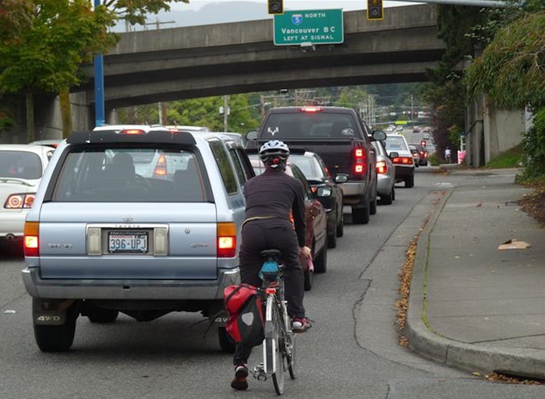
The City, Whatcom Transportation Authority (WTA), Washington State Department of Transportation (WSDOT), Whatcom Council of Governments (WCOG) and TranspoGroup consultants are collaborating on a comprehensive multimodal transportation study for the area between the Samish/I-5 and Iowa/I-5 interchanges and the Samish-Maple-Ellis corridor and the Puget-Lakeway-Lincoln corridor (see map below). The purpose is to document existing land uses, known development proposals, and land supply, then measure and analyze vehicular traffic impacts and travel demand for people walking, biking, and riding transit.
The City, Whatcom Transportation Authority (WTA), Washington State Department of Transportation (WSDOT), Whatcom Council of Governments (WCOG) and TranspoGroup consultants are collaborating on a comprehensive multimodal transportation study for the area between the Samish/I-5 and Iowa/I-5 interchanges and the Samish-Maple-Ellis corridor and the Puget-Lakeway-Lincoln corridor (see map below). The purpose is to document existing land uses, known development proposals, and land supply, then measure and analyze vehicular traffic impacts and travel demand for people walking, biking, and riding transit.
Analysis of alternatives for long-term changes to existing vehicle traffic circulation in the vicinity of the Lakeway/I-5 interchange and the potential consolidation and/or relocation of vehicular driveways along a portion of Lincoln Street will be included in this study. The project team will engage the public in various ways and seek input over the course of the study. Ultimately, both short-term and long-term multimodal transportation system improvements will be identified and recommended, which will allow Public Works to program local funding and to seek state and federal grant funding for construction in future years. Visit the Lincoln-Lakeway Multimodal Transportation Project Page for additional information.
Click map below to explore the study area in detail.
Please feel free to ask questions or make comments about the recommendations up until September 23, 2021.
Analyze Existing Transportation Conditions: April - December 2020
Lincoln-Lakeway Multimodal Transportation Study has finished this stage
Analyze Transportation Improvement Scenarios: January - May 2021
Lincoln-Lakeway Multimodal Transportation Study has finished this stage
Analyze cost-benefit of short-term and mid-term improvements to arterial streets and intersections and feasibility of long-term changes surrounding the Lakeway/I-5 interchange.
Multi-Agency Collaboration & Review of Improvement Scenarios: June-July 2021
Lincoln-Lakeway Multimodal Transportation Study has finished this stage
Multi-Agency review of improvement scenario options and issues; Multi-Agency meeting June 11, 2021; Multi-Agency field investigation of existing conditions at Lakeway/I-5 interchange, multiple signalized intersections on Lakeway Drive, and the Lincoln-Meador corridor.